Buy Tickets

Travel Partners & Connections

background
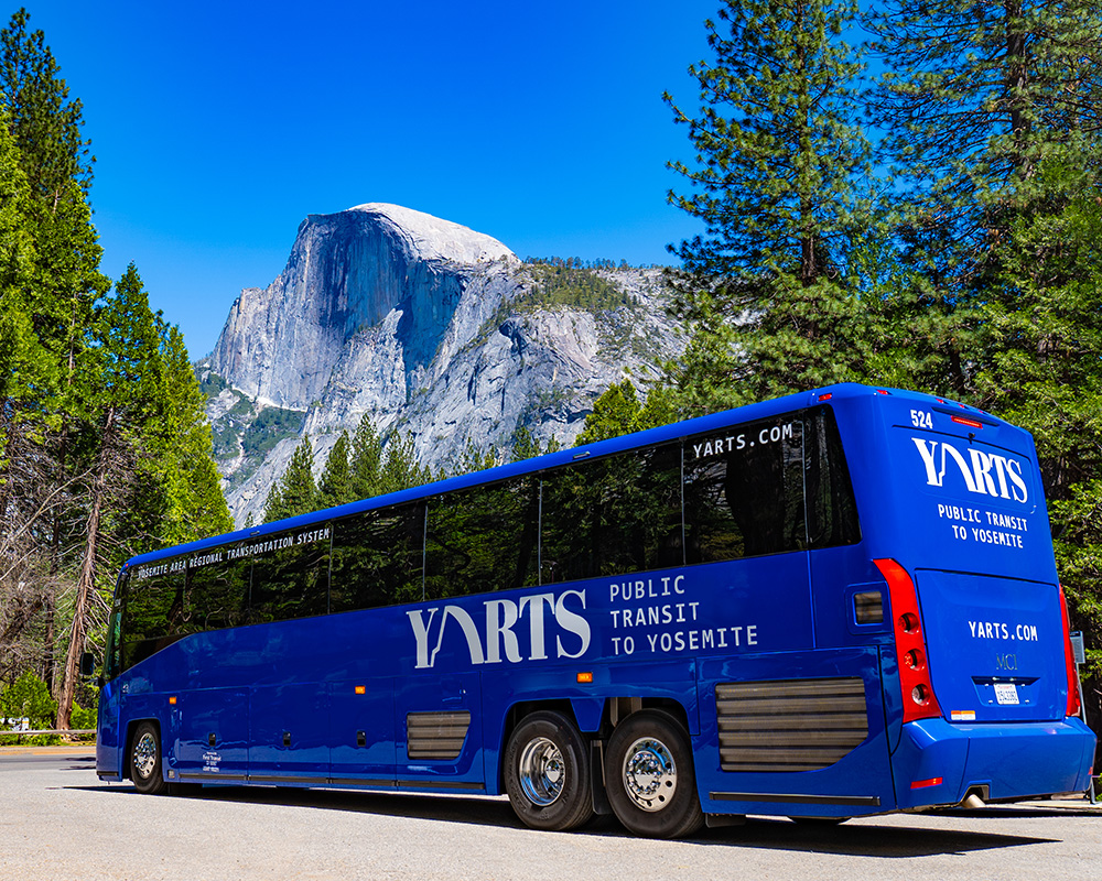
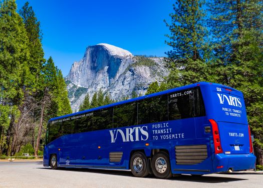
YARTS blue bus in front of half dome

YARTS

The YARTS Highway 140 route stops at Curry Village, Yosemite Valley Lodge, and Yosemite Village.

All other YARTS routes – Highway 120, Highway 41, and Highway 395/120E – connect with the Yosemite Valley Shuttle at Yosemite Village for those wanting to access other areas in Yosemite National Park.

View Current Road Conditions in the Park.
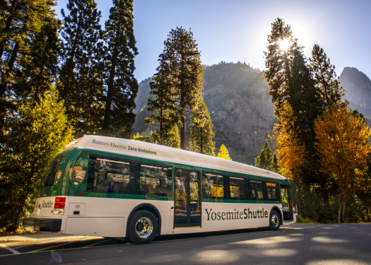
Yosemite Valley Shuttle takes you to most destinations in the valley

Yosemite Valley Shuttle

  • Valleywide shuttle: This route serves all stops in Yosemite Valley, including lodges, food service, campgrounds, and trailheads. Buses arrive every 12 to 22 minutes from 7 am to 10 pm.
  • East Valley shuttle: This route is limited to Yosemite Village, Curry Village, Pines campgrounds, and trailheads in eastern Yosemite Valley. Buses arrive every 8 to 12 minutes from 7 am to 10 pm.

Highway 140 (Merced – CATHEYS VALLEY – Mariposa – MIDPINES – El Portal)

The San Joaquins provides a great way to connect your travel throughout California and the San Joaquin Valley. The San Joaquin Valley is California’s premier agricultural region, bordered on the west by the coastal mountain ranges, and on the east by California’s magnificent Yosemite, Kings Canyon, Sequoia, and Death Valley National Parks. The San Joaquins runs multiple times daily between the San Francisco Bay Area (or Sacramento) and Bakersfield, where Amtrak Thruway buses connect you to great Southern California destinations. Other stops along the way include Stockton, Modesto, Merced, Martinez and Fresno. Easy Thruway bus connections to San Francisco are made at Emeryville. The San Joaquin Line connects with the San Francisco Bay Area (international airports: SFO and Oakland) and Sacramento (Sacramento International Airport).

Greyhound buses connect with YARTS. Greyhound buses reach Merced from San Francisco, Stockton, and Madera.

Come fly with us! Looking for affordable flights? Merced Regional Airport has you covered.

Advanced Airlines offers direct flights to Merced from Los Angeles and Las Vegas. YARTS offers a convenient bus stop at the Merced Airport for easy connections.

Merced County’s The Bus provides frequent connections to YARTS, which connects at the Merced Transportation Hub (Merced Transpo) daily.

Use your CatCard to ride The Bus to the YARTS stops for free! Board the CatTracks UC route by showing the driver your CatCard and transfer onto YARTS.

Mari-Go provides curb-to-curb transit in Mariposa communities. Use Mari-Go to connect to YARTS.

Highway 41 (Fresno – COARSEGOLD – Oakhurst – Fish Camp – Wawona – yosemite valley)

Fresno Yosemite International Airport is the closest commercial airport (Under 100 miles) to three of California’s spectacular National Parks: Yosemite, Sequoia, and Kings Canyon. 

The San Joaquins provides a great way to connect your travel throughout California and the San Joaquin Valley. The San Joaquin Valley is California’s premier agricultural region, bordered on the west by the coastal mountain ranges, and on the east by California’s magnificent Yosemite, Kings Canyon, Sequoia, and Death Valley National Parks. The San Joaquins runs multiple times daily between the San Francisco Bay Area (or Sacramento) and Bakersfield, where Amtrak Thruway buses connect you to great Southern California destinations. Other stops along the way include Stockton, Modesto, Merced, Martinez and Fresno. Easy Thruway bus connections to San Francisco are made at Emeryville.

Clovis Transit provides fixed intra-city bus routes, making it easy for residents to travel within Clovis and connect to Fresno Area Express (FAX)

The Fresno County Rural Transit Agency (FCRTA) provides local and regional transit services to rural cities within Fresno County.

The Madera County Connection (MCC) is a public transit service that operates in Madera County, California. It offers a combination of fixed-route and demand-response paratransit services, connecting residents to jobs, shopping, education, medical appointments, and leisure activities

MCC routes cover various areas, including Downtown Madera, Chowchilla, Fairmead, and North Fork

Highway 395/120e (Mammoth Lakes – june lake – Lee Vining – Tuolumne Meadows – white wolf – crane flat – yosemite valley)

Mammoth Lakes is accessible by plane from hundreds of cities across the country.

Flights to Mammoth Lakes and Bishop are now more convenient than ever! Advanced Air service flies from Mammoth Yosemite Airport (MMH) to Carlsbad and Hawthorne-LAX. Just 45 minutes south, the Eastern Sierra Regional Airport in Bishop operates United flights to San Francisco (SFO) and Denver (DEN). Between these two airports, you can easily get to Mammoth Lakes from almost anywhere.

ESTA provides public transportation services across the Eastern Sierra region, including fixed-route services, Dial-A-Ride, and specialized routes for hikers.

ESTA’s routes connect various communities, such as Benton, Bishop, Bridgeport, and Mammoth Lakes, and extend to Reno, Nevada, and Lancaster, California.

Highway 120 (Sonora – Jamestown – Groveland – Buck Meadows – yosemite valley)

Tuolumne County Transit (TCT) provides public transportation services throughout Tuolumne County, California. TCT offers a variety of services, including fixed-route bus services, Dial-A-Ride, and seasonal routes like the SkiBus to Dodge Ridge.

Tuolumne County Transit General Public Dial-Your-Ride can get you to a YARTS stop, where you can connect with public transit to Yosemite Valley. Please call (209) 532-0404 to schedule your ride.